What does an ordinary Tuesday or a laid‑back Saturday look like when you live near Coyote Point and Hillsdale in San Mateo? If you’re picturing quick access to the Bay, easy errands, and a no‑stress jump onto Caltrain, you’re on the right track. You want a neighborhood that fits your routine, not the other way around. In this guide, you’ll see how daily life flows around Coyote Point and Hillsdale so you can decide if this corner of San Mateo feels like home. Let’s dive in.
Neighborhood vibe and housing mix
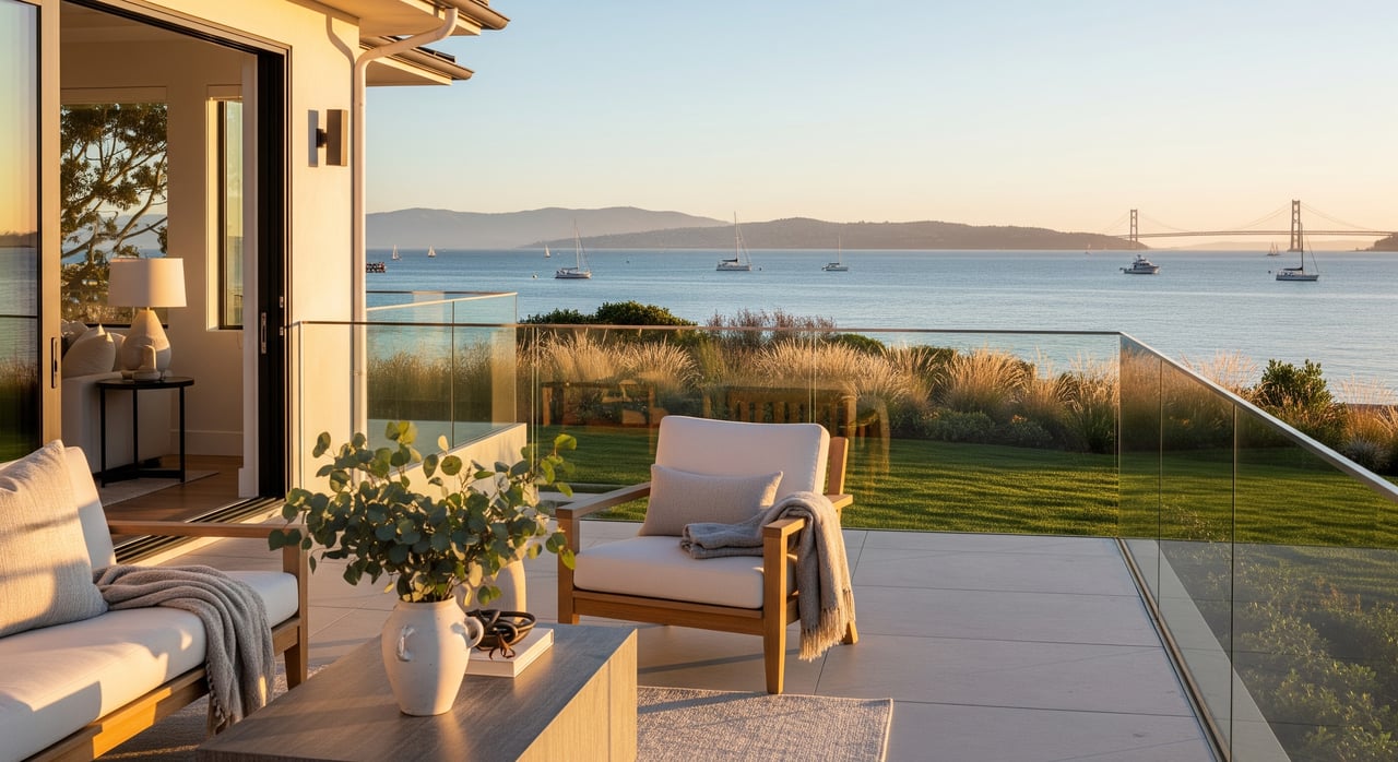
Living near Coyote Point feels close to the water. You have shoreline trails, a marina, and wide lawns for picnics and kite days. Around Hillsdale, the pace is more retail‑and‑restaurants with residential streets tucked just beyond the shopping center.
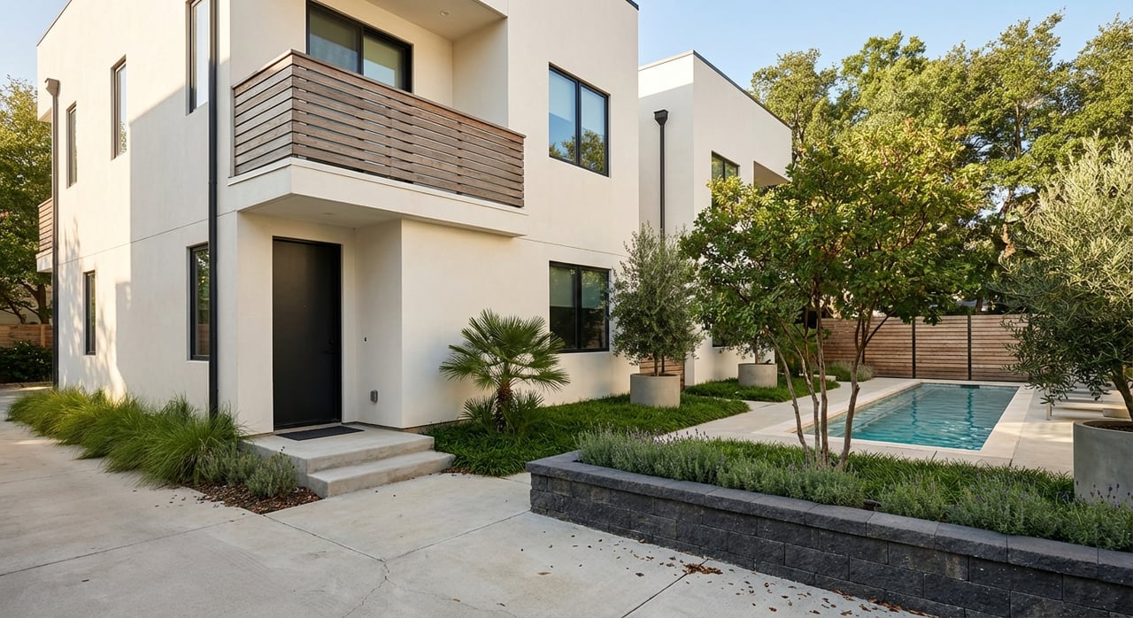
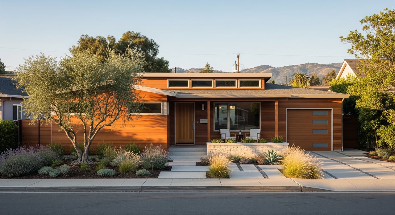
Housing includes post‑war and mid‑century single‑family homes, townhomes, and condominiums. You’ll find more multifamily buildings and condos closer to the Caltrain corridor and Hillsdale Shopping Center. Recent updates around the mall added more dining and pedestrian‑friendly spaces near established residential blocks.
San Mateo is a mid‑sized, diverse Peninsula city. For current population and community details, review the city’s profile on U.S. Census QuickFacts for San Mateo.
Quality‑of‑life tradeoffs
- Pros: strong park and Bay Trail access, a central Peninsula location, and direct Caltrain service at Hillsdale.
- Things to weigh: some streets sit under SFO flight paths, bayfront areas can have flood considerations, and commercial corridors see peak‑hour traffic.
Parks and bayfront routines
Coyote Point highlights
Coyote Point Recreation Area is the local backyard park for many residents. You get shoreline paths, wide lawns, picnic sites, and a marina for casual boating and paddling. Check current hours, maps, and amenities through San Mateo County Parks’ Coyote Point page.
Families often make a morning or afternoon of it at CuriOdyssey, the on‑site science museum and zoo. It’s a reliable plan for hands‑on exhibits, animal encounters, and rotating programs.
Trails and fitness options
A quick jog or bike ride along the Bay Trail starts from Coyote Point and nearby access points. For a longer weekend workout, the Sawyer Camp segment of the Crystal Springs trail system offers scenic miles for running and cycling. See maps and permitted uses on the Sawyer Camp Trail page.
Shopping, dining, and everyday services
Hillsdale Shopping Center
For errands and easy dining, Hillsdale Shopping Center is a practical hub with regional retailers, services, and restaurants. Recent improvements added open‑air promenades and event programming. Explore tenant lists and upcoming events on the Hillsdale Shopping Center website.
Downtown San Mateo and nearby options
Downtown San Mateo is a short drive or transit hop, with a range of cafés, bakeries, and independent restaurants. Nearby Burlingame and Belmont expand the choices for a lunch meetup or date night. Groceries, clinics, and urgent care are spread along the Hillsdale corridor and surrounding streets, so errands tend to stay local.
Community calendars are active, too. Look to City of San Mateo Parks & Recreation for seasonal events, classes, and park programs.
Getting around the Peninsula
Caltrain from Hillsdale
If you split time between San Francisco and the South Bay, rail can simplify your commute. The upgraded station serves locals heading north or south, with local and express options depending on the time of day. Check schedules, fares, and service notices on the Caltrain Hillsdale Station page.
Driving basics
U.S. 101, Interstate 280, and CA‑92 are the primary arteries. Peak congestion is common during commute windows, and travel times vary by departure time and route. CA‑92 also connects you to the San Mateo Bridge for East Bay trips.
Local buses and short trips
SamTrans runs routes through this area, useful for local errands or park‑and‑ride connections. See current maps and timetables via SamTrans schedules and maps. Many residents use bikes or e‑bikes for short hops to parks, schools, and shops.
Schools and family logistics
Most elementary and middle schools in this area fall under the San Mateo‑Foster City School District, while high schools are within the San Mateo Union High School District. Assignments depend on the exact address, and boundaries can shift. If school placement is important for you, verify attendance zones and enrollment policies directly with the districts, and plan school visits during your home search.
Childcare options include preschools, private daycares, and after‑school programs. Waitlists can vary, so start outreach early if you’re moving on a deadline. For continuing education and community classes, the College of San Mateo is close by.
Weekend plans that stick
A low‑key Saturday might start with coffee and a Bay Trail walk, then a picnic and kite session at Coyote Point. Families often pair a CuriOdyssey visit with lunch near Hillsdale or in downtown San Mateo. If you prefer a bigger workout, head for Sawyer Camp Trail, then wind down with a casual dinner back near the shopping center.
Practical checks before you buy
Every neighborhood has details you notice only when you look closely. As you explore, consider this quick checklist:
- School boundaries and enrollment: confirm your address assignment and any choice or transfer options with the districts.
- Aircraft noise: visit at different times of day and review city and airport noise resources to understand typical patterns.
- Flood and sea‑level‑rise exposure: review official maps for low‑lying blocks and shoreline areas. Start with the FEMA Flood Map Service Center and county planning resources like Sea Change San Mateo County.
- Parking and traffic: note on‑street rules near commercial corridors and any HOA parking policies for condos or townhomes.
- HOA and CC&R review: request governing documents and budgets early when considering newer condos or townhomes.
Is this your fit?
If your ideal day includes a shoreline walk, easy shopping, and a fast rail link to job centers, the Coyote Point and Hillsdale areas deserve a close look. With a mix of housing, daily conveniences, and parks, it’s a practical base for both busy weekdays and relaxed weekends.
When you’re ready to tour homes and compare blocks, connect with Aladdin Kanawati for local guidance, private and Coming Soon opportunities, and a clear, step‑by‑step plan.
FAQs
What is the commute like from Hillsdale to San Francisco or Silicon Valley?
- You can ride Caltrain from Hillsdale, drive via 101 or 280, or mix rail and rideshare; total time varies by departure window and whether you catch local or express service.
How do I confirm which public schools serve a specific address in San Mateo?
- Contact the San Mateo‑Foster City School District and San Mateo Union High School District directly and use their boundary tools to verify current assignments and enrollment policies.
How noisy is it to live near Coyote Point and Hillsdale with SFO nearby?
- Noise varies by street and flight path; visit at multiple times and consult city and airport noise resources to gauge typical conditions for the blocks you’re considering.
Are bayfront homes near Coyote Point at risk of flooding or sea‑level rise?
- Some low‑lying areas warrant extra review; check the FEMA Flood Map Service Center and county sea‑level‑rise planning resources, and discuss site‑specific details during inspections.
Is parking difficult around Hillsdale Shopping Center?
- Parking is generally manageable but can be tight during peak shopping hours; check on‑street rules for nearby residential blocks and any HOA or garage policies if you’re considering a condo.